About Austin Parks Wayfinding
The Austin Parks Wayfinding project aims to help park goers navigate Austin's outdoor spaces with ease. Undergraduate students Zac DeLane and Caroline Silva found a number of pain points that visitors regularly experience when exploring Pease Park, Town Lake, and other parks along the Shoal Creek trail. Using Adobe Illustrator and Adobe Dimension, they created a holistic mapping system to include mile marker signage, a desktop map, and a compact decision point sign that will allow patrons to find their way without disruptions.
Problem
During their studies of public spaces, Caroline and Zac noticed a disconnect as park patrons moved through public space. They thought about the interaction people had to move through park space and considered the connection between parks (i.e. the trail network). They made multiple field visits to Pease Park, Town Lake and other parks along the Shoal Creek trail and noticed they all lacked navigational tools within the space. When conducting desktop research, the maps and navigation of the trails in the digital space was cumbersome and lacked a high quality user experience.
Solution
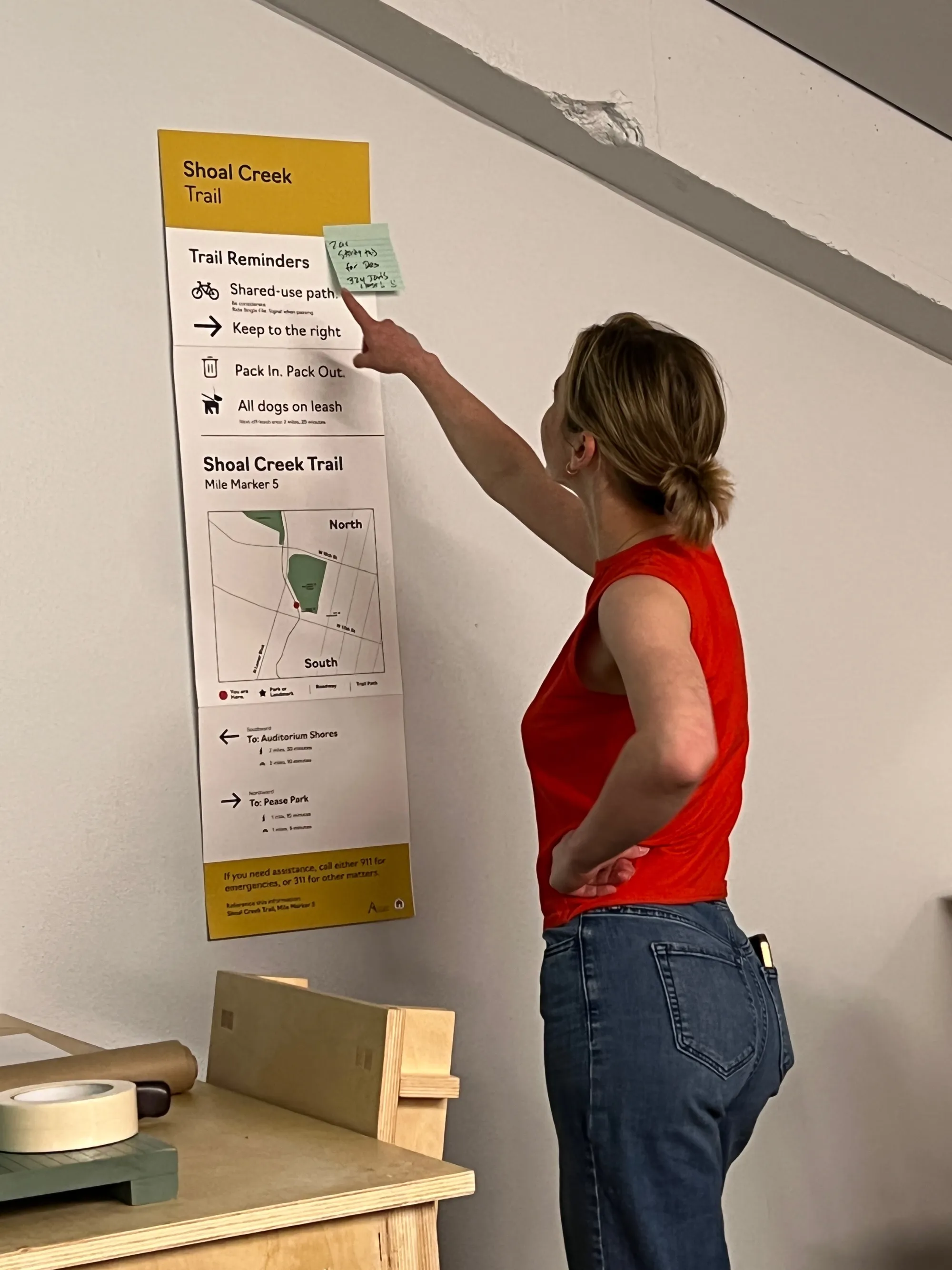
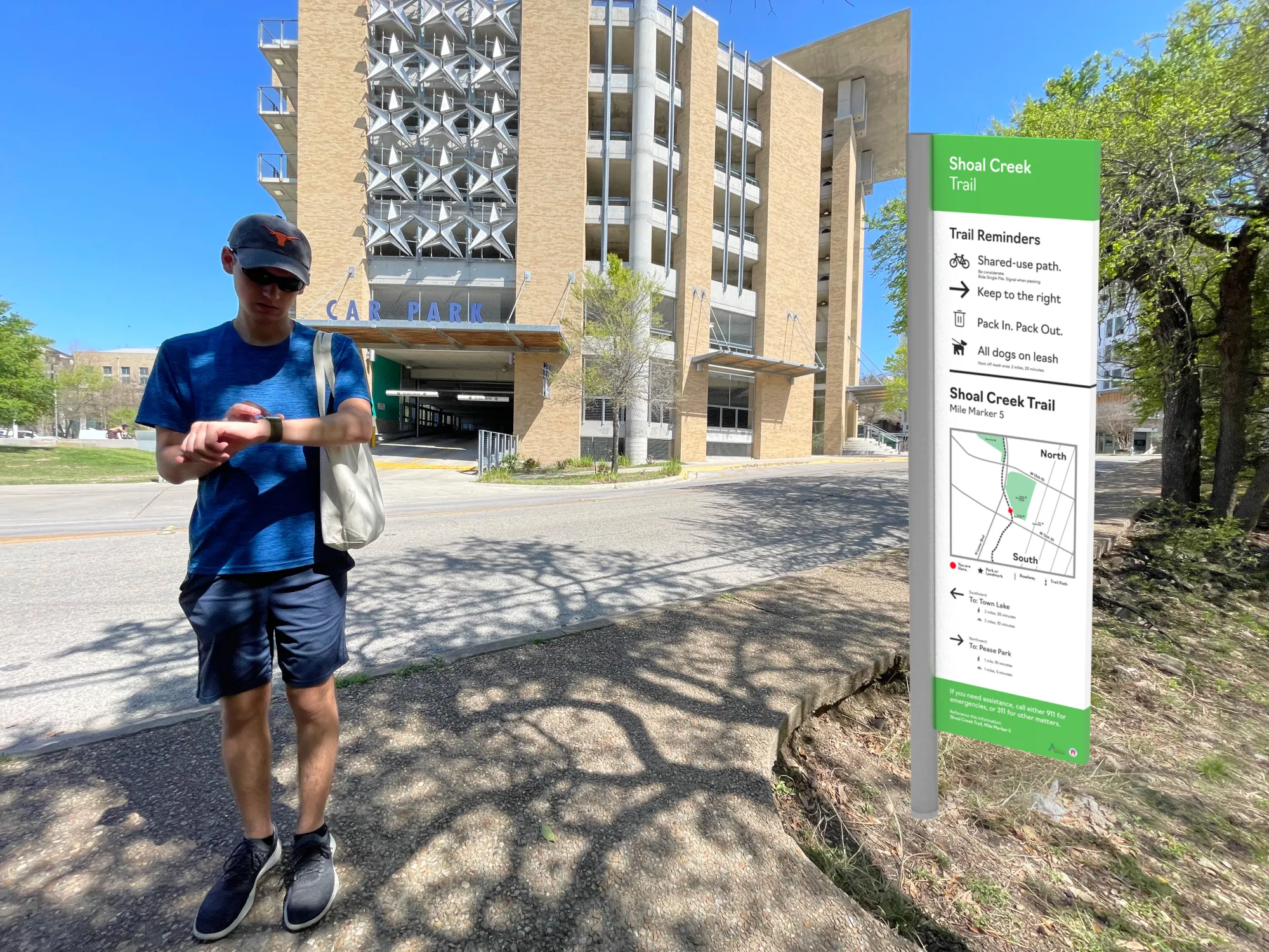
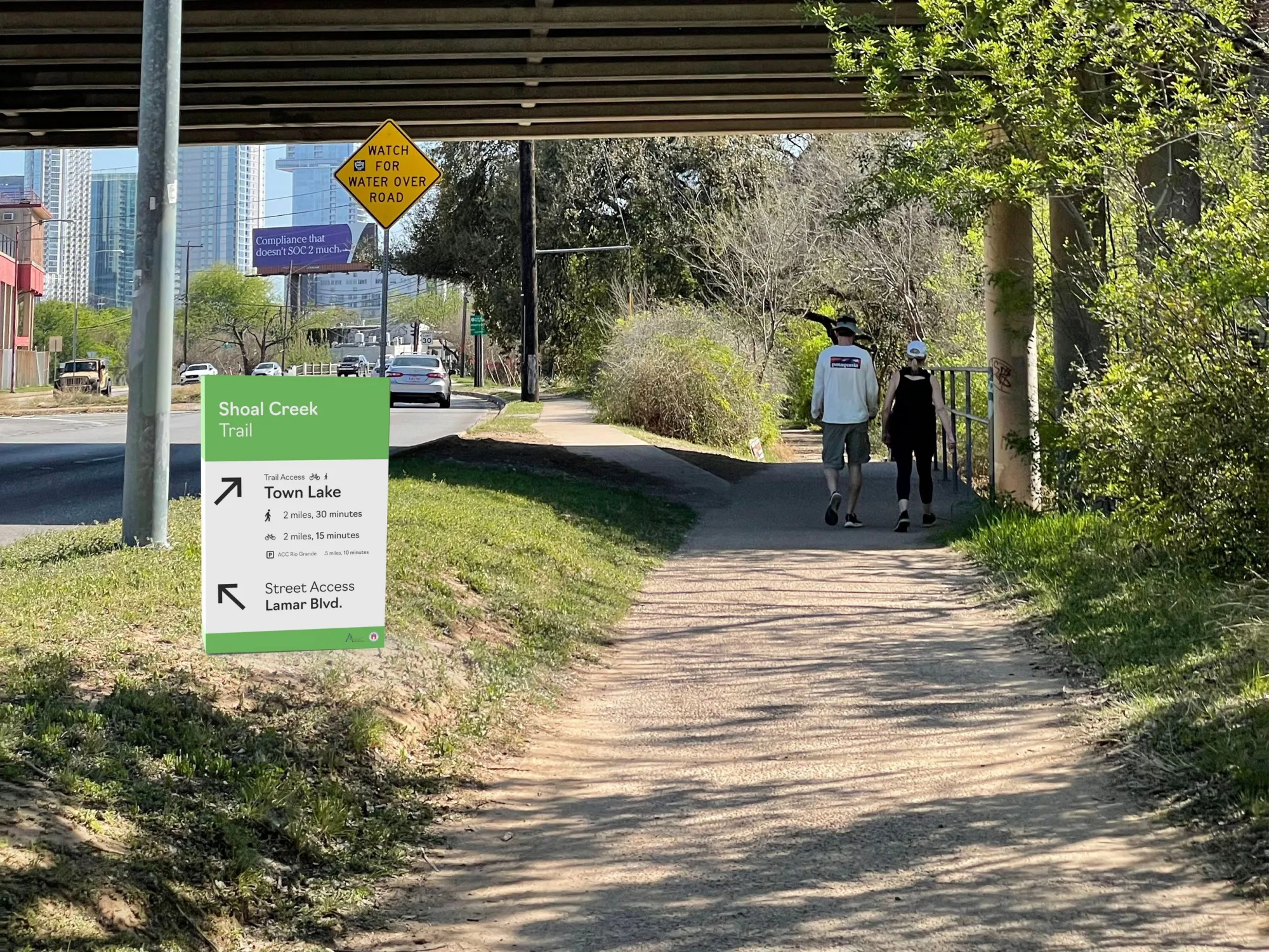
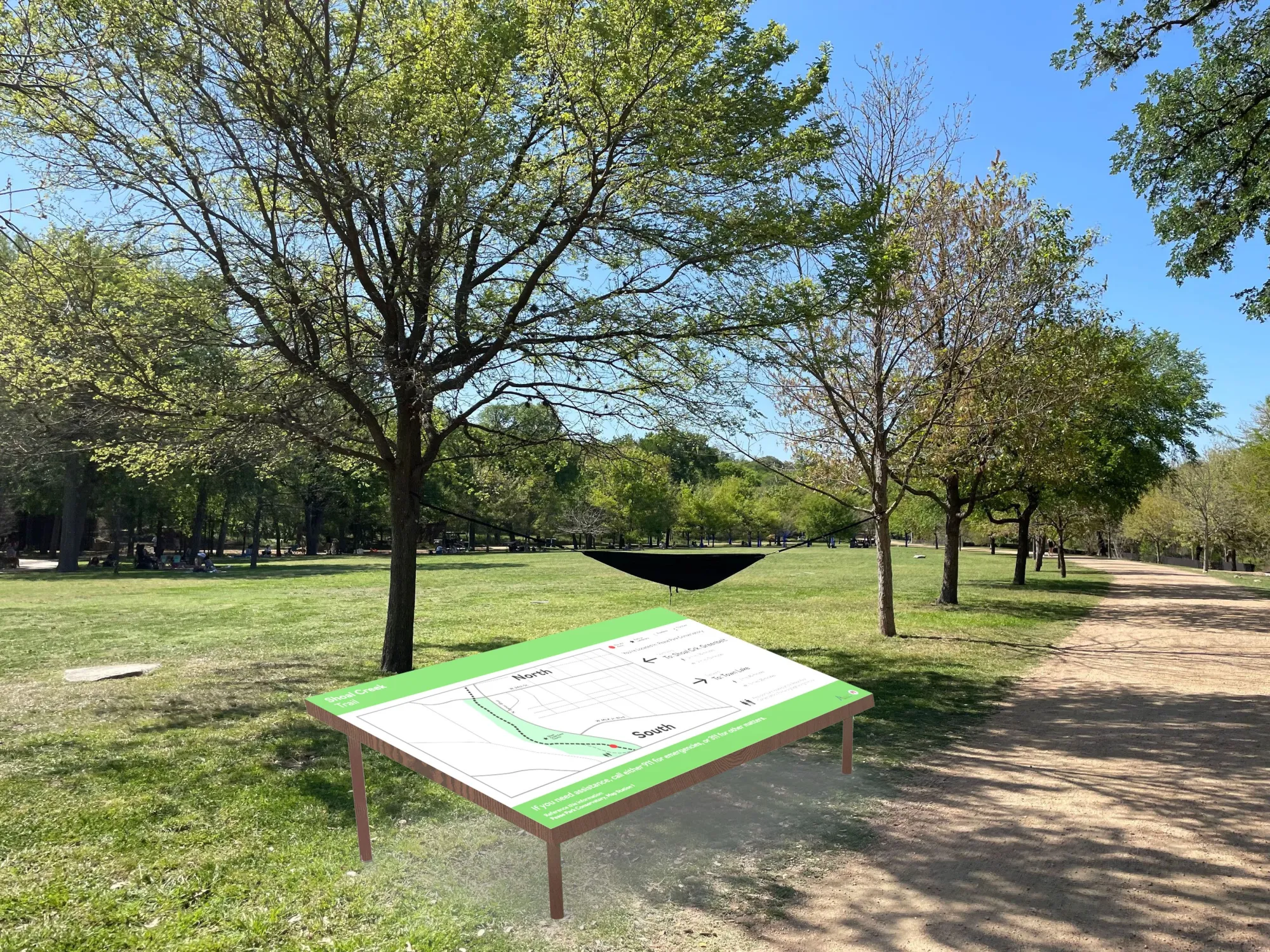
As they fleshed out ideas, their experiences led to three different prototypes: a mile marker sign that orients park goers along the trail network in Austin, a desktop map that shows park goers where they are in space in relation to common roads and throughputs, and a compact decision point sign that shows a common or notable waypoint along the trail to help people navigate through the trails. Through all of these prototypes, they considered the idea of equity. Some people may have limited access to a phone or map, and these signs allow for people to simply look and know where they're going. Not only do they provide common measurements (i.e. miles) along the routes, but they also used simple minute-based markings that show how long it would take people to get to their final destination.
Project Details
Credits
Zac DeLane - Designer
Caroline Silva - Designer
Course
Design Research and Methods
Technology
Adobe Illustrator, Adobe Dimension